
BOSTON — Boston has yet to see its first measurable snow, but meteorologist Tucker Antico says there’s a fair chance this finally changes on Sunday.
A fast-moving system will arrive in the Pacific Northwest Friday morning and race eastward over the next 48 hours. On it’s way, it will drop snow in the Midwest and Mid-Atlantic, before brushing southern New England.
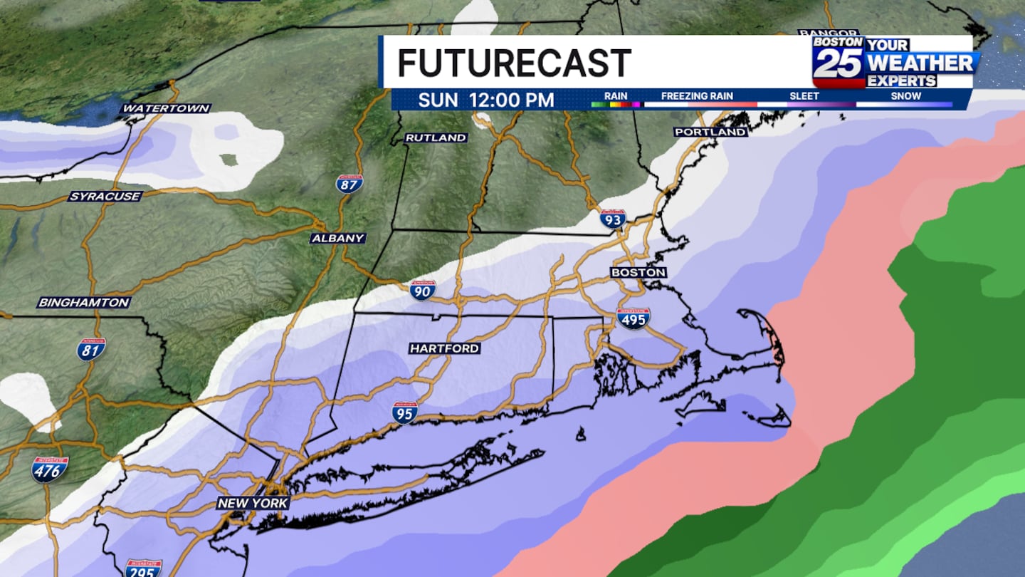
Snowfall will begin in the early hours of Sunday morning and wrap up as soon as the sun sets, if not earlier in the afternoon. Snow will generally remain light, but a period of moderate snowfall is possible well south of the Pike, closer to the core of this system. For anybody going to the Pats game, this will have little impact on your plans, but it will certainly be festive!
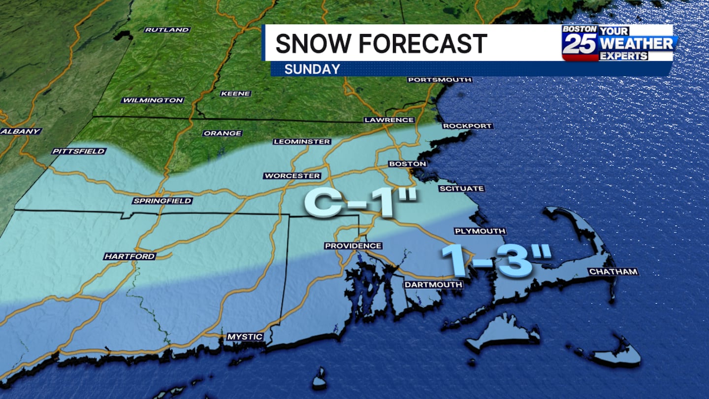
Temperatures will be cold, so there will be no mixing. However, the dry air limits any shovel-able snow to areas well south of the Pike too. This will be a nice medium between powdery snow and a heavy wet snowfall.
There appears to be some potential for slightly greater moisture return, but as of Thursday night, there is not enough data to support higher totals yet.
Download the FREE Boston 25 News app for breaking news alerts.
Follow Boston 25 News on Facebook and Twitter. | Watch Boston 25 News NOW
©2025 Cox Media Group
/cloudfront-us-east-1.images.arcpublishing.com/cmg/7QOJU3BNCJERBNKJC5LWTBYFLU.png)


